Finding a stolen or missing cars can be extremely easy using the Global Positioning System (GPS). Global Positioning System can be used in two ways to find out the location of the car.
A global positioning system is used to locate the car. It’s a very useful system when the car is stolen or something. It’s operated through the satellites present high in space.
The satellites help the global positioning system in tracking a car. Two ways of GPS use are thoroughly explained ahead:
ACTIVE GADGETS:
Active Global positioning system gadgets track a car’s movement by collecting and recording data from various points and then transmits back the data to a server by using cellular network.
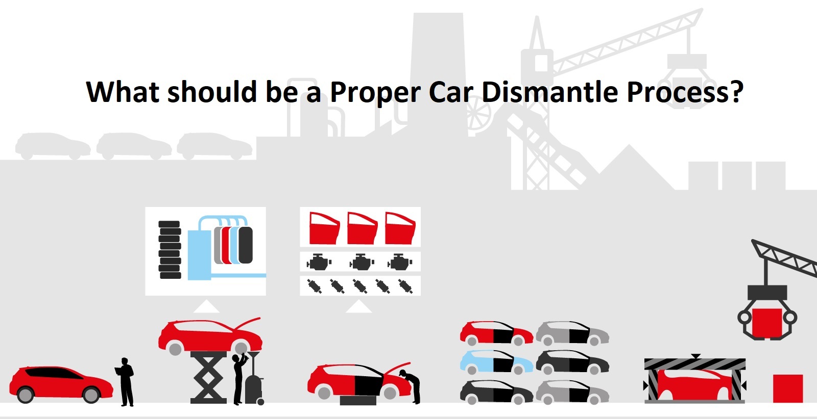
Also Visit: Prime Auto Recyclers
PASSIVE GADGETS:
Locating a car Using a Global positioning system on passive gadgets is a bit complicated task. Because to accomplish this, the device must be removed from the vehicle.
And data should be downloaded to a server in order to find out the previous position of the vehicle. It’s normally handy in determining the previous position, not the current location.
Tracking process:
Global positioning system (GPS) acceptors on the ground uses “timing transmission” from three-four satellites to determine the car’s location. Ones the position of the car is determined, the information is either sent to the receiver or the server computer.
Security structure:
A car having Global Positioning System (GPS) capabilities equipped as a unit of its security structure can alert the owner of the vehicle or law enforcement of the area by the telephone or email when the alarm is generated.
Telematic unit:
The telematics unit in a car means mechanization. Global positioning system navigation is counted as a telematics system in the car. This system allows the global positioning system (GPS) to send a signal to high alert services at the time when the driver is in an accident. So that the forces can locate him on time and assist him shortly.
Current location as a waypoint:
Waypoints are installed in GPS to use later. On the Global positioning system click “save” or mark a waypoint.
A complex global positioning system save more points. The more the points saved to the Global positioning system the more accurate is the map of the area.
Navigation system:
The global positioning system is so important that it’s even used by the Navigation system. They rely on a restricted satellite “conglomeration” known as the GPS.
Global Positioning system constructed to support military navigation and their guidance is then dependent on dozens of manmade satellites to transmit immovable information receivers on the ground.
Immovable receivers may include boats, planes or other mobile maps. Due to the moving satellite constantly transmits the information on changing positions and locations.
A receiver that has access over at least 4 feeds can use the information to determine its original position. The process of information transfer is conducted through a complex mathematical formula called “Triangulation”.
Reliance on Maps:
An exact “latitude” and “longitude” location is not at all any practical to people who are not actually familiar with map coordinates. Thus, in order to make the information much useful and more charming to averagely fellow users, the navigation system relies on advance mapping software to find a location.
Using the integrates obtained from the first section, the system can seal the location into a software map to find its state and city, etc. it’s so accurate that it can even tell you the location about 10 feet. The software even tells the weather details.
We hope this article was useful to you, now you would probably be aware of all the details of finding a car using a global positioning system, in addition to that the importance of the GPS is also listed.